
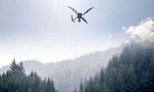
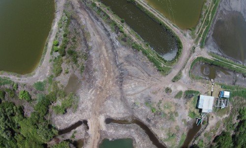
Land & Waterways Surveys
Transform your operations with professional drone services. Get accurate data, AI-ready insights, and faster results without owning drones.
How Drone surveying Works
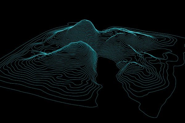
LiDAR
- High-Precision Mapping
- Dense Point Cloud Data
- Advanced 3D Visualization
Multispectral Sensors
- Vegetation Health Analysis
- Land & Soil Assessment
- Environmental Monitoring

Photogrammetry
- High-Resolution Imaging
- Orthomosaic Mapping
- Accurate Site Documentation
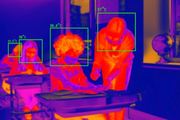
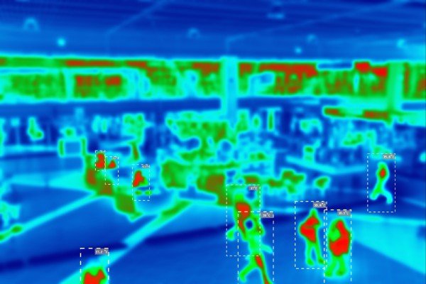
Thermal Sensors
Thermal sensors detect heat signatures and temperature variations. Thermal data can identify subsurface, infrastructure, or building issues, locate buried features, and aid environmental monitoring.
- Heat Signature Detection
- Infrastructure Inspections
- Environmental Monitoring
Our Expertise in surveying Drone
Our Expertise in Surveying Drone

Real-time Intelligence

Situational Awareness

360° Aerial Surveillance
Why Choose Us
Delivering advanced drone-powered inspection, mapping, and surveying solutions with precision, speed, and industrial-grade accuracy across India.
DGCA Certified Pilots
Experienced and certified drone operators ensuring safe, compliant, and professional survey operations.
Fast Project Delivery
Rapid aerial data collection and quick report generation to reduce downtime and improve efficiency.
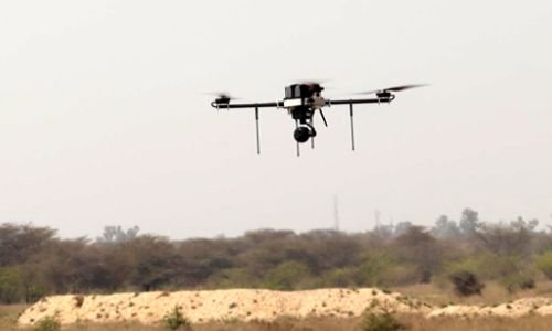
Advanced Drone Technology
Equipped with RTK drones, thermal sensors, and high-resolution imaging systems for accurate results.
PAN India Operations
Providing reliable drone inspection and survey services across multiple industries throughout India.
Accurate Data & Reports
Detailed analytics, orthomosaic maps, 3D models, and actionable inspection reports.
Cost Effective Solutions
Reduce manpower risks and operational costs with efficient drone-based inspections and mapping solutions.