Our Drone Services
Our next-generation drone services simplify complex projects, increase efficiency, improve safety, and deliver best-in-class data.
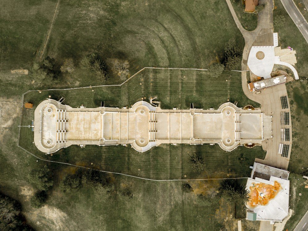
Land & waterways surveys
LiDAR, Photogrammetry, Orthomosaic Mapping, 3D Models, and Topographical Surveys.
Know More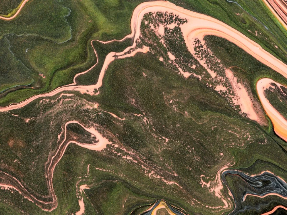
Multispectral Terrain Mapping
Multispectral imaging, terrain analysis, vegetation monitoring, environmental assessment, and precision geospatial intelligence.
Know More
Power line surveys
Power line inspections, transmission corridor mapping, utility asset monitoring, fault detection, and infrastructure assessment.
Know More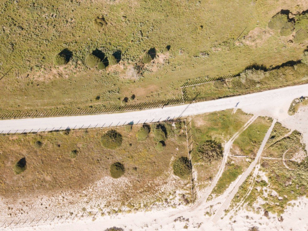
Terrain & Elevation Model
Digital terrain models, elevation mapping, contour generation, slope analysis, and 3D terrain visualization.
Know More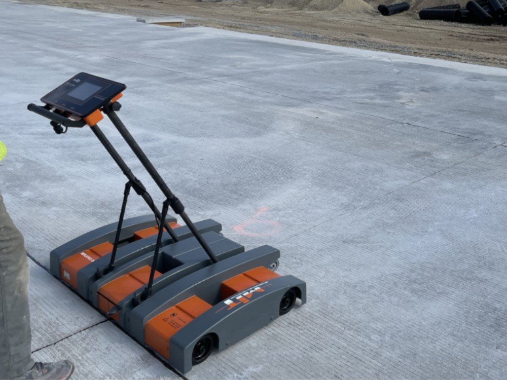
Asphalt & Concrete Scans
Crack detection, pavement condition assessment, structural inspections, quality assurance, and maintenance analysis.
Know More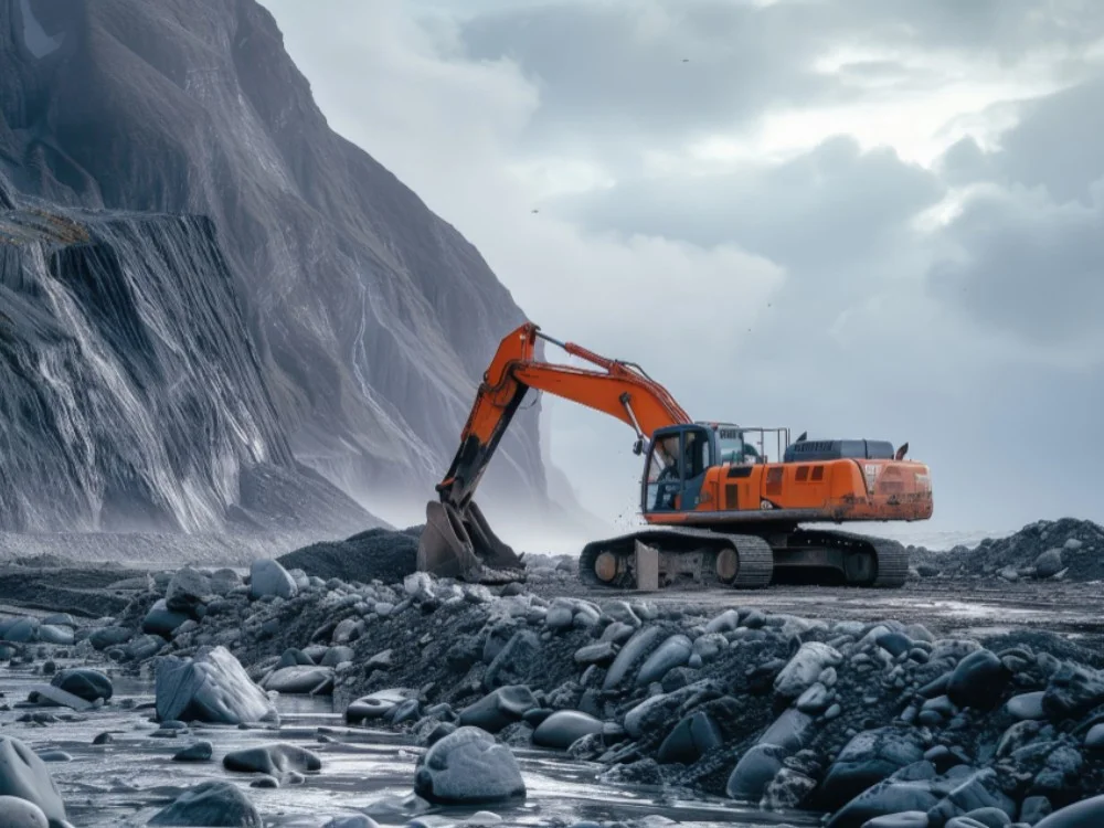
Mining, Quarrying
Crack detection, pavement condition assessment, structural inspections, quality assurance, and maintenance analysis.
Know More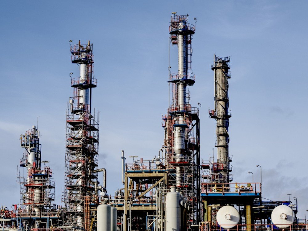
Oil & Gas
Pipeline inspections, facility monitoring, leak detection, asset mapping, thermal analysis, and infrastructure integrity assessments.
Know More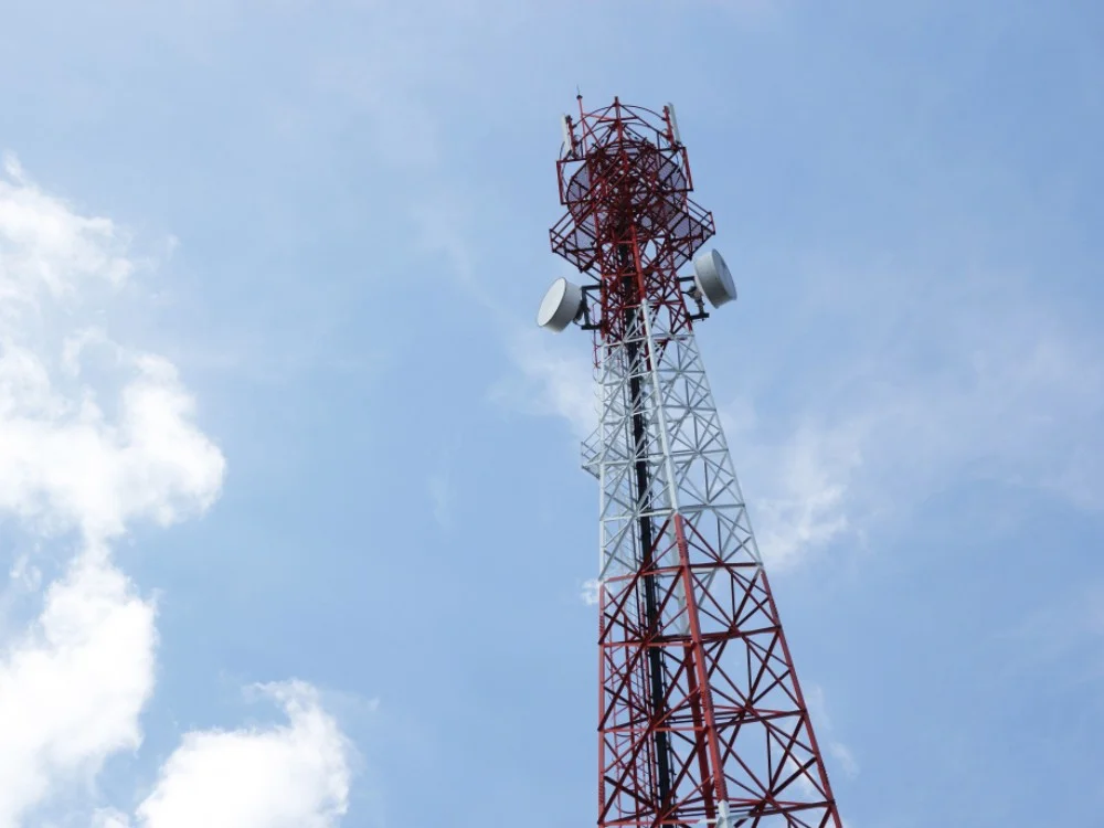
Telecommunications
Tower inspections, telecom infrastructure surveys, asset monitoring, network mapping, and maintenance support.
Know More