Oil and Gas Drone Inspection
Smarter solutions for monitoring, repairs, and expansion planning for oil and gas operations.
Leading-Edge Oil and Gas Drone Services
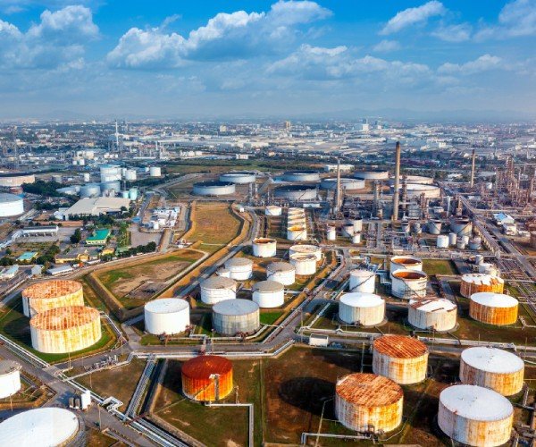
With Drone as a Service, oil and gas operations can inspect and monitor vast networks of pipelines, tanks, and onshore and offshore drilling sites efficiently and safely. Our drones also support drone inspection for oil and gas, capturing accurate operational data for better planning and maintenance. Our AI-powered drones feature 4K cameras, LiDAR, multispectral sensors, and radar and thermal scanners to capture comprehensive data regarding the condition and performance of your operational assets, enabling you to optimize performance and plan expansion and repairs.
Versatile Oil and Gas UAV Technology
Our drone data can identify issues both visible and beyond the range of visible light—in even the most difficult-to-reach or hazardous places. Using oil and gas UAV inspection, inspections can reveal corrosion, leaks, defects, damage, and more. Our data enables you to create a comprehensive analysis of operational performance via high-resolution video and photography, multispectral maps, terrain and elevation models, and 3D object models.

Creating Better Outcomes with Drone Inspection
Safer, More Efficient, and Cost-Effective
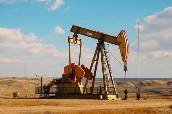
Drones eliminate the traditional job hazards faced by oil and gas workers, including accessing remote or rugged terrain, entering hazardous areas, and scaling tall structures. Drones in the oil and gas industry can inspect vast networks much faster than ground-based teams, reducing project schedules and monitoring and maintenance costs.
Why Choose Us
Delivering advanced drone-powered inspection, mapping, and surveying solutions with precision, speed, and industrial-grade accuracy across India.
DGCA Certified Pilots
Experienced and certified drone operators ensuring safe, compliant, and professional survey operations.
Fast Project Delivery
Rapid aerial data collection and quick report generation to reduce downtime and improve efficiency.
Advanced Drone Technology
Equipped with RTK drones, thermal sensors, and high-resolution imaging systems for accurate results.
PAN India Operations
Providing reliable drone inspection and survey services across multiple industries throughout India.
Accurate Data & Reports
Detailed analytics, orthomosaic maps, 3D models, and actionable inspection reports.
Cost Effective Solutions
Reduce manpower risks and operational costs with efficient drone-based inspections and mapping solutions.