
Multispectral Terrain Mapping
Collect and analyze insightful geospatial data for projects including land development, agriculture, energy and utilities, and more.
What is Multispectral Terrain Mapping?
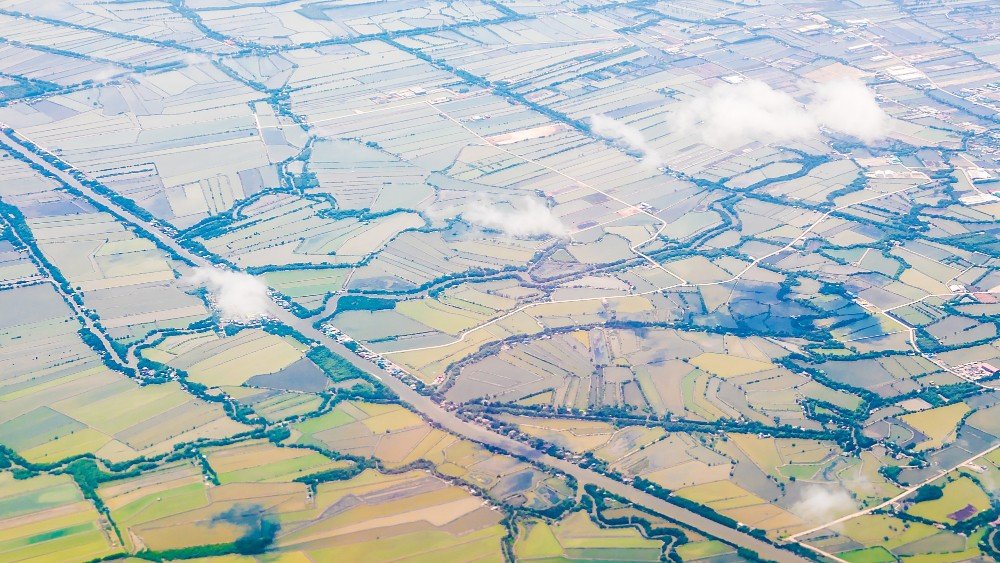
Multispectral terrain mapping uses specialized sensors to capture data across multiple bands of the electromagnetic spectrum, including those beyond visible light, to create detailed maps of physical environments and objects. Drone RGB, Near-infrared (NIR), and short-wave infrared (SWIR) cameras can capture data on any terrain and create a 3D point cloud to provide deep insights.
Applicable Across Industries
Why Choose Us
Delivering advanced drone-powered inspection, mapping, and surveying solutions with precision, speed, and industrial-grade accuracy across India.
DGCA Certified Pilots
Experienced and certified drone operators ensuring safe, compliant, and professional survey operations.
Fast Project Delivery
Rapid aerial data collection and quick report generation to reduce downtime and improve efficiency.
Advanced Drone Technology
Equipped with RTK drones, thermal sensors, and high-resolution imaging systems for accurate results.
PAN India Operations
Providing reliable drone inspection and survey services across multiple industries throughout India.
Accurate Data & Reports
Detailed analytics, orthomosaic maps, 3D models, and actionable inspection reports.
Cost Effective Solutions
Reduce manpower risks and operational costs with efficient drone-based inspections and mapping solutions.