
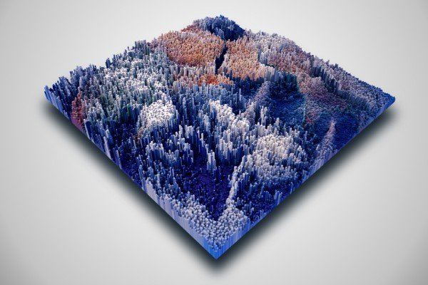
Terrain & Elevation Model
Generate precision, 3D models of any terrain to optimize visualization, design, and planning for a range of operations.
What Are Terrain and Elevation Models?

Digital Elevation Model
Digital Terrain Model
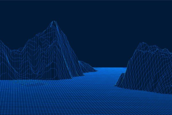
Digital Surface Model
How Drones Create Terrain and Elevation Models

LiDAR
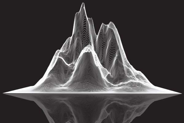
Photogrammetry
Why Choose Us
Delivering advanced drone-powered inspection, mapping, and surveying solutions with precision, speed, and industrial-grade accuracy across India.
DGCA Certified Pilots
Experienced and certified drone operators ensuring safe, compliant, and professional survey operations.
Fast Project Delivery
Rapid aerial data collection and quick report generation to reduce downtime and improve efficiency.
Advanced Drone Technology
Equipped with RTK drones, thermal sensors, and high-resolution imaging systems for accurate results.
PAN India Operations
Providing reliable drone inspection and survey services across multiple industries throughout India.
Accurate Data & Reports
Detailed analytics, orthomosaic maps, 3D models, and actionable inspection reports.
Cost Effective Solutions
Reduce manpower risks and operational costs with efficient drone-based inspections and mapping solutions.