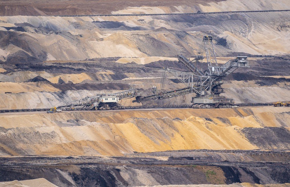
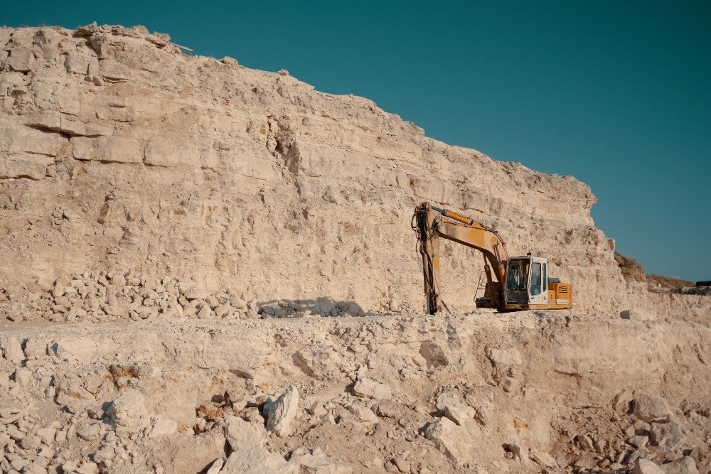
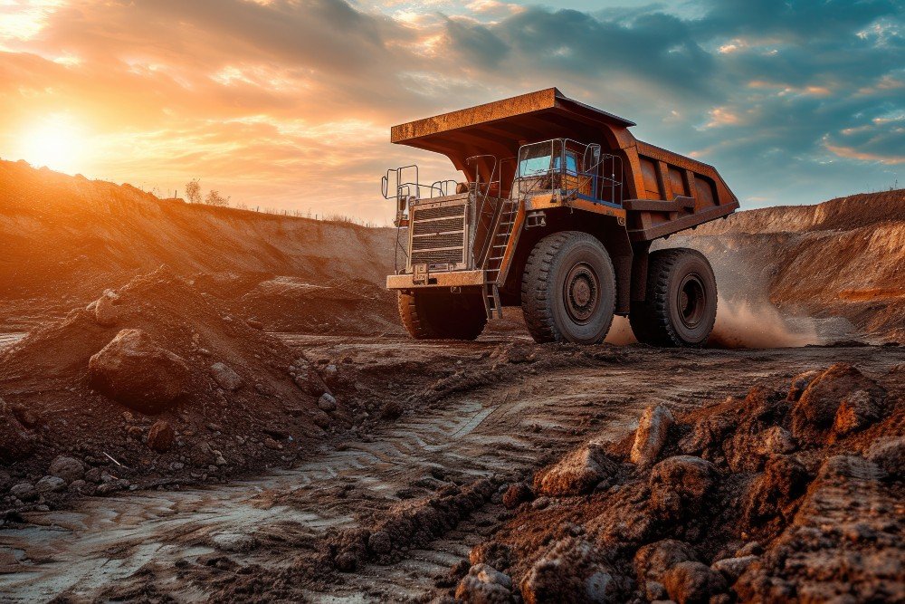
Mining Quarrying
Survey sites, streamline operations, measure stockpiles accurately, and improve safety for mining and quarry projects.
Optimize Production Without Additional Investment
Drone technology provides a rich dataset that can optimize every aspect of mining operations. 4K cameras, LiDAR, multispectral sensors, and thermal scanners capture high-resolution video, orthomosaic images, and data for terrain and elevation maps and volumetric calculations that reduce operational costs by up to 25%.
How Drones Improve Mining Operations
Our AI-powered drones can be used for:
Mine monitoring
Get deep insights on haulage road design, bench height and face angle analysis, operational workflow, equipment condition, worksite security, and environmental monitoring.
Volumetric monitoring
Obtain precise measurements of stockpiles and create 3D models to analyze excavation and backfill planning.
Safely identifying hazards
Assess for hazards like crumbling rocks, gas leaks, chemical byproducts, stockpile stability, and underground environments without endangering workers.
Drilling and blasting assessments
Use 3D models to improve blast efficiency by up to 30% and provide situational awareness for blasting teams.
Mine exploration and development
Survey vast areas quickly, and safely access abandoned areas to conduct surface mapping, stability analysis, ventilation modeling, and detect hazardous gasses.
Other Benefits of Drone Technology
The Drone as a Service (DaaS) Advantage
Why Choose Us
Delivering advanced drone-powered inspection, mapping, and surveying solutions with precision, speed, and industrial-grade accuracy across India.
DGCA Certified Pilots
Experienced and certified drone operators ensuring safe, compliant, and professional survey operations.
Fast Project Delivery
Rapid aerial data collection and quick report generation to reduce downtime and improve efficiency.
Advanced Drone Technology
Equipped with RTK drones, thermal sensors, and high-resolution imaging systems for accurate results.
PAN India Operations
Providing reliable drone inspection and survey services across multiple industries throughout India.
Accurate Data & Reports
Detailed analytics, orthomosaic maps, 3D models, and actionable inspection reports.
Cost Effective Solutions
Reduce manpower risks and operational costs with efficient drone-based inspections and mapping solutions.